Information
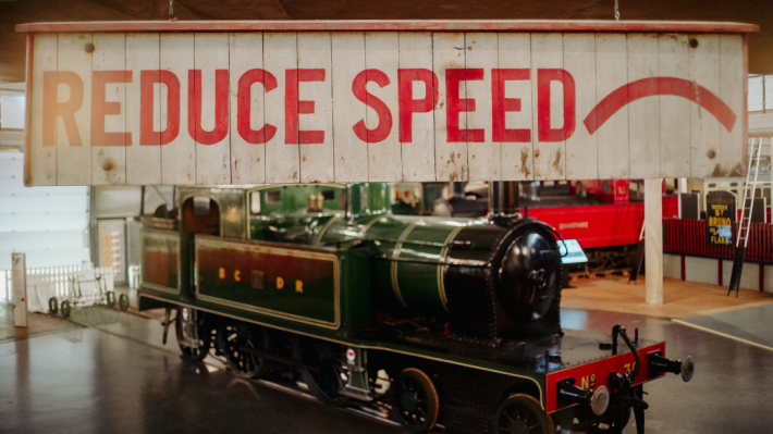
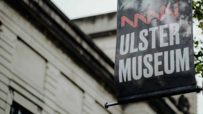
Visit the Ulster Museum
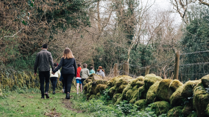
Explore the Ulster Museum and make sense of the past, the present and the future through collections of art, natural science and history.
National Museums NI looks after four distinct museums in Northern Ireland and serves as custodians to 1.4 million objects in a collection spanning art, history and natural sciences.
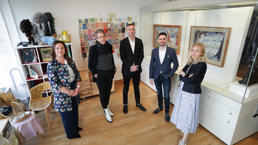
EY to sponsor the upcoming 'National Treasures: Caravaggio in Belfast' exhibition at Ulster Museum, as well as primary schools’ engagement programme.
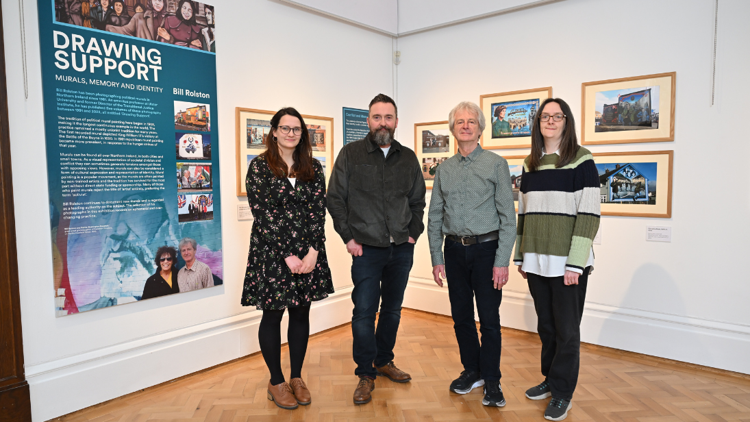
Read newsA new exhibition has opened at Ulster Museum exploring themes of identity, expression & conflict legacy, showcased through the work of Belfast-born mural photographer, Bill Rolston
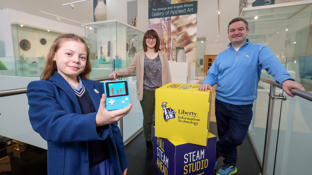
Read newsA new, STEAM-focused, collaborative education programme has been launched by Liberty IT and National Museums NI to inspire young people to develop their tech skills.
Read news